SOFF X · AIHujjatingizni AI yaratsinSovg'ani oling
Mahsulot tavsifi
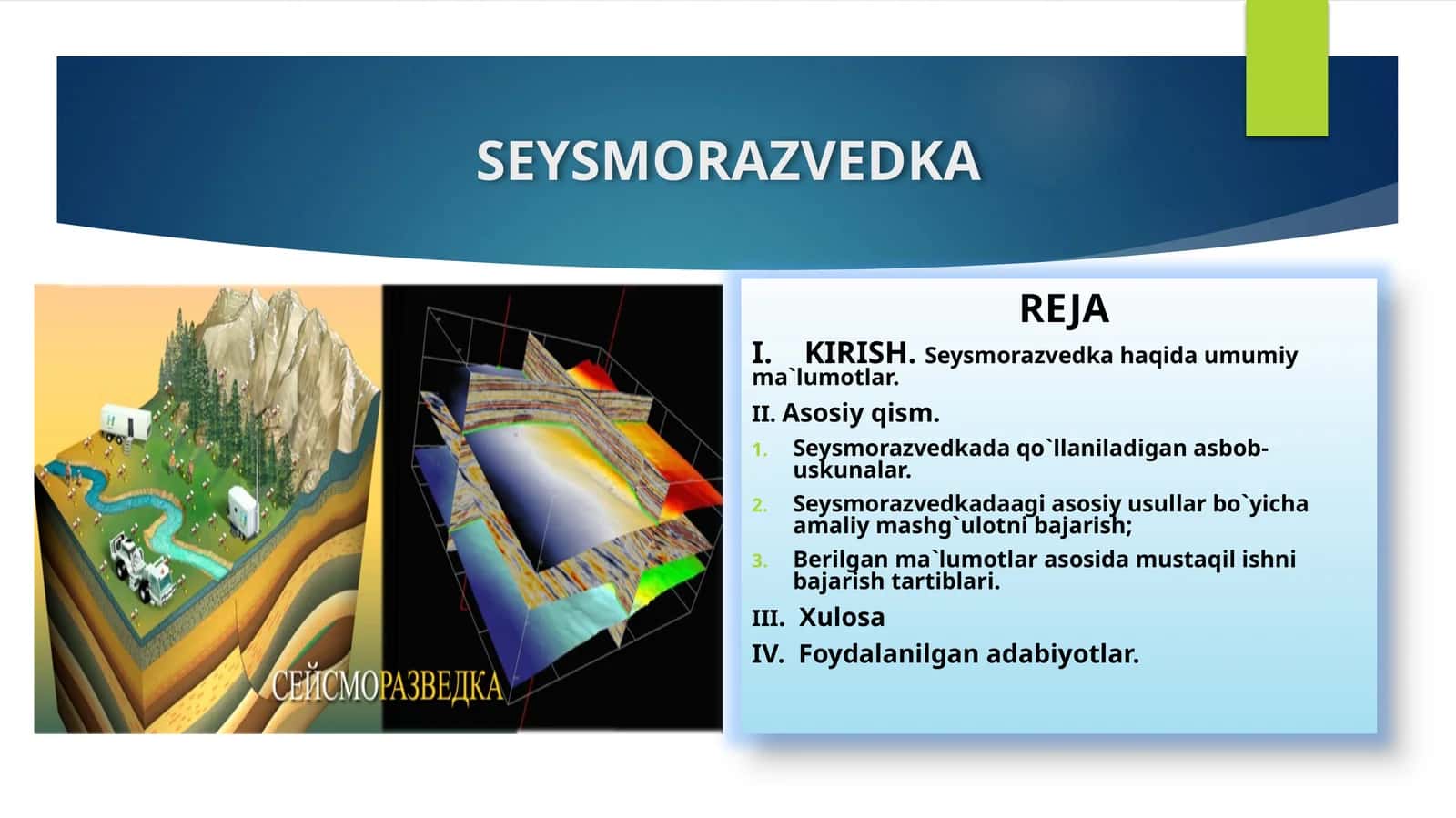
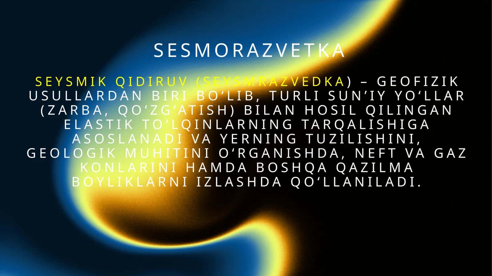
2D seysmik tasvirlash is a geophysical method used to determine the structure and composition of the Earth's crust by studying artificially generated seismic waves on the Earth's surface. It is widely used in evaluating geological parameters by users.
#geofizik usul#seysmik tasvirlash#geologik parametrlar
Muallif

Abu BakrTasdiqlangan muallif
- Hujjatlari
- 31 224
- Sotilgan
- 1 766